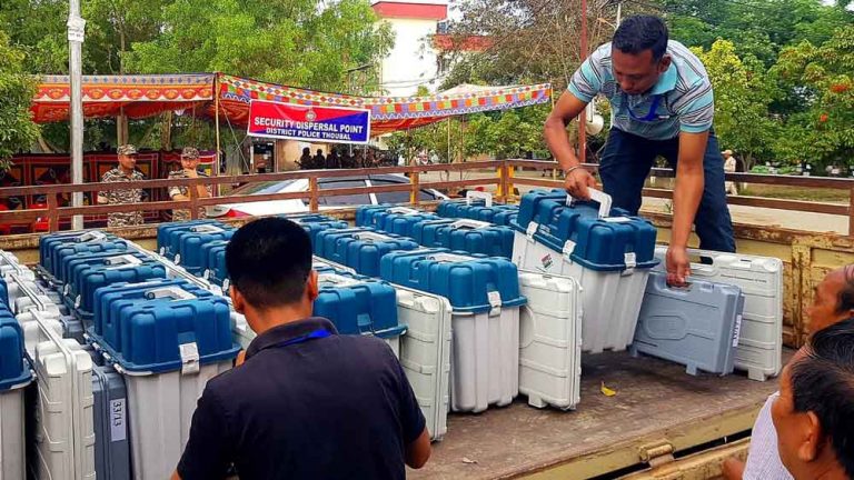
Categories General Manipur Web All set for Lok Sabha Elections poll in inner Manipur Posted on April 18, 2024 by Pothashang
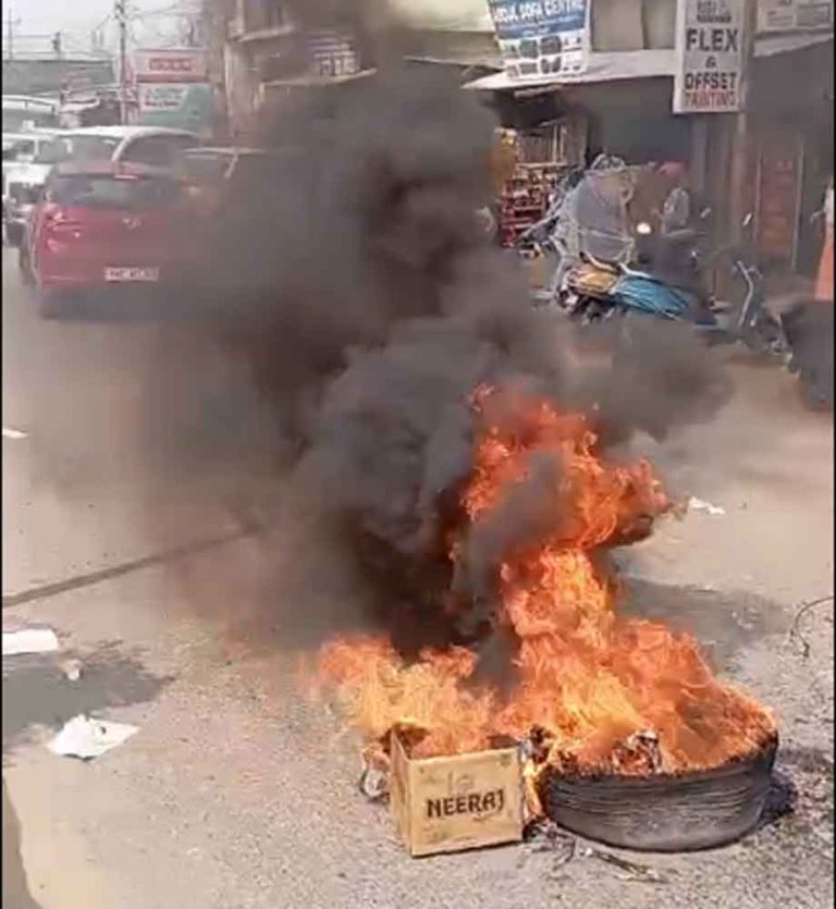
Categories General Manipur Web Congress worker’s residence attacked ahead of Lok Sabha poll in Manipur Posted on April 18, 2024 by Pothashang
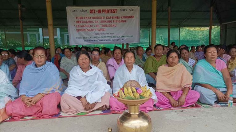
Categories General Manipur Web ‘High Court accepts PIL to protect village defence volunteers’ Posted on April 17, 2024 by Pothashang
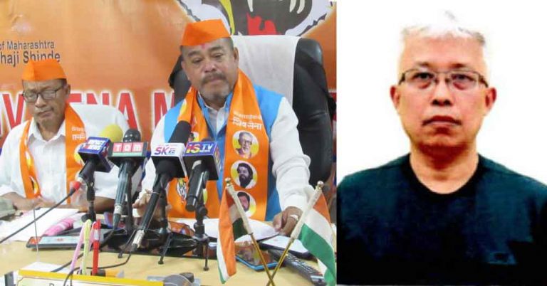
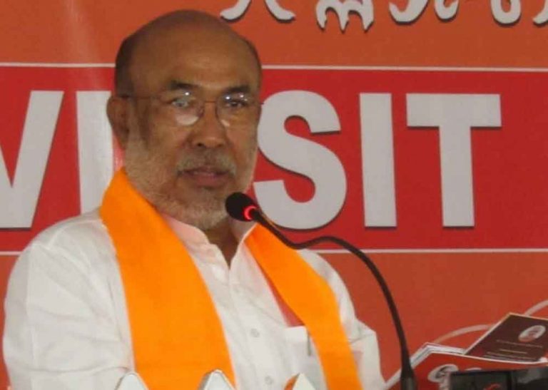
Categories General Manipur Web Shiv Sena’s Tombi turns on Bimol Posted on April 17, 2024April 17, 2024 by Pothashang
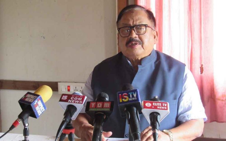
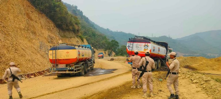
Categories General Manipur Web Biren condemns attack on fuel tankers, vows stringent action Posted on April 17, 2024 by Pothashang
Categories General Manipur Web Gun attack injures 2 drivers along NH-37, government blamed for drivers’ insecurity Posted on April 16, 2024 by Pothashang
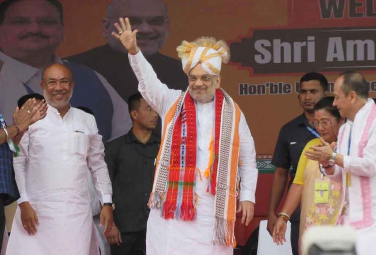
Categories General Manipur Web Peace in Manipur and Northeast is top priority of Modi government: Amit Shah Posted on April 15, 2024 by Pothashang
Categories General Manipur Web Protests greet Amit Shah in Parliamentary election campaign at Imphal Posted on April 15, 2024 by Pothashang